Visualizing Physical Geography, 2nd Edition
By Tim Foresman, Alan Strahler
Visualizing Physical Geography is a comprehensive, modern book for today’s physical geography course. Through current examples, thorough coverage of geographers’ tools and technology, and a visual design that is accessible without sacrificing content—Visualizing helps students become active learners.
Schedule a Demo Sign Up for a Test Drive Adopt WileyPLUSWant to learn more about WileyPLUS? Click Here

More opportunities for critical thinking
In every chapter, select figures are paired with new critical thinking questions. Ask Yourself questions test student comprehension of the figure. Put It Together questions ask students to combine information from the figure with previously learned material. Think Critically questions require students extend their knowledge by applying what they’ve learned to new situations.
A collection of videos accompany each Wiley Visualizing text
A collection of videos, mostly from the award-winning National Geographic Film Collection, accompany each Wiley Visualzing text. Each video clip illustrates a specific concept or topic and is accompanied by commentary and questions that further develop student understanding. Icons in the text indicate when a video clip is available.
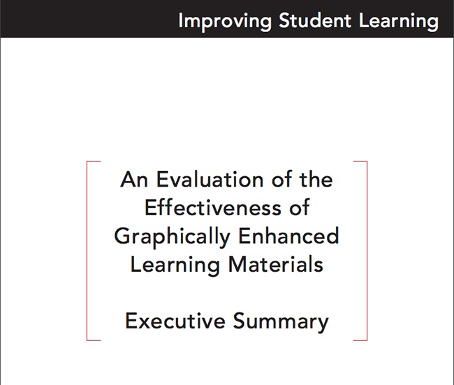
Wiley Visualizing’s multi-media approach to learning helps students achieve more
SEG Research recently conducted a national, multi-site study of students enrolled in introductory-level college courses. The study evaluated the effectiveness of Wiley Visualizing, an educational program designed to better engage students, increase retention, and improve student learning by use of a pedagogy in which meaningful visuals and multimedia are integrated with the text.
Wiley Visualizing supports faculty and promotes student engagement by facilitating comprehension leading to increased retention.
- New emphasis on climate change.
- Expanded coverage of important topics. Throughout, this edition contains new or expanded discussions of important and relevant topics.
- Enhanced visuals.
- New Science Tools feature.
- New Where Geographers Click feature.
- New Video Explorations feature
Features Include
Tim Foresman earned his Ph.D. degree in Geography from the University of California at Santa Barbara. He is adjunct Professor of Geography at University of Maryland and president of the International Center for Remote Sensing Education. He has over 100 professional articles and books on environmental protection and sustainable development using the applied tools of geography, including remote sensing and geographic information systems (GIS). His pioneering work in spatial information systems and geographic information systems includes a seminal publication on the history of GIS and a Lifetime Achievement Award from ESRI. His active research and field studies have included tenure with the US Department of Defense, US Environmental Protection Agency, NASA, and the United Nations Environment Programme. His international recognition includes service as adjunct professor at Coventry University in England and Qinghai University in China, as well as visiting professor at Keio University in Japan. He was elected as Fellow of Sigma Xi, the scientific research society.
Alan Strahler earned his Ph.D. degree in Geography from Johns Hopkins in 1969, and is presently Professor of Geography at Boston University. He has published over 250 articles in the refereed scientific literature, largely on the theory of remote sensing of vegetation, and has also contributed to the fields of plant geography, forest ecology, and quantitative methods. In 2011, he received the Pecora Award from the US Geological Survey and the American Society of Photogrammetry and Remote Sensing in recognition of his work in remote sensing. He has also been awarded the Association of American Geographers/Remote Sensing Specialty Group Medal for Outstanding Contributions to Remote Sensing. With Arthur Strahler, he is a coauthor of seven textbook titles with twelve revised editions on physical geography and environmental science. He holds the honorary degree D.S.H.C. from the Université Catholique de Louvain, Belgium, and is a Fellow of the American Association for the Advancement of Science.
CHAPTER 1: Discovering the Earth’s Dimensions
CHAPTER 2: The Earth’s Global Energy Balance
CHAPTER 3: Air Temperature
CHAPTER 4: Atmospheric Moisture and Precipitation
CHAPTER 5: Global Atmospheric and Oceanic Circulation
CHAPTER 6: Weather Systems
CHAPTER 7: Global Climates and Climate Change
CHAPTER 8: Earth from the Inside Out
CHAPTER 9: Plate Tectonics, Earthquakes, and Volcanoes
CHAPTER 10: Weathering and Mass Wasting
CHAPTER 11: Fresh Water of the Continents
CHAPTER 12: Landforms Made by Running Water
CHAPTER 13: Landforms Made by Wind and Waves
CHAPTER 14: Glacial and Periglacial Landforms
CHAPTER 15: Global Soils
CHAPTER 16: Biogeographic Processes
CHAPTER 17: Global Biogeography
Appendix: Answers to Self-Tests
Glossary
References
Text, Table and Line Art Credits
Photo Credits
Index